Sunday, August 16, 2020

Road Trip: Through the Los Padres National Forest / August 2020

Road Trip: Through the Los Padres National Forest / August 2020

This road trip turned out to be a spontaneous, spur-of-the-moment excursion into and though part of teh Los Padres National Forest. We pull off I5 north of Gorman to check out Frazier Mountain. Couldn't find the trailhead, so decided to road trip the rest of the afternoon. Frazier Mountain road to Lockwood Valley Road into the LPNP until we hit Maricopa Highway (33) and headed south, up into the mountains and through. I'd never actually been to or through this area so it was all entirely new to me. Quite some scernry and scenic vista views as we climbed S/SW/W up 33 into the mountains. Dry, hot (100º-110º) and dusty. Definitely going to come back to this area and explore the hiking options sooner than later.


Thursday, August 13, 2020

Hike: Los Angeles: Los Liones Trail / August 2020


Hike: Los Angeles: Los Liones Trail / August 2020

This was more of an urban hike to a degree since it is in the heart of the Pacific Palisades, near Santa Monica in the environs of Los Angeles. Since it's so close to an urban center, as you can imagine, it was pretty crowded. In fact, this was the most crowded hike I've done so far. Literally scores (maybe hundreds) of people on this trail on any given point at any given time - concurrently. Crazy. Not everyone wearing their mask or following trail etiquette, either, which isn't surprising, but a bit frustrating. Nonetheless a fun but traditional hike. Great views of the Pacific Ocean and some of the cooler houses and homes in the canyons of the Palisades, too.

Length: 5 miles / Elevation gain: 1,115' / Highest Elevation Point: 1,500'.
 

Wednesday, August 5, 2020

Hike: Eastern Sierra: Mono Pass / June 2020

Hike: Eastern Sierra: Mono Pass / June 2020

First of all, one of the cool things about this hike is that it STARTS OFF WAY ABOVE where most hikes end - at 10,000', almost the height of Mt. Baldy. And then you proceed to maintain that alpine level and climb numerous switchbacks - literally up and along the side of a 12,800' peak (Mt. Star) near other 13,000' mountains, and into a valley - still covered in snow - past numerous mountain lakes - and ever more upwards to more mountain lakes.

I can tell you from experience on this hike - hiking at an elevation above 10,000' is no joke. On the way down, I've never (ever) experienced the exhaustion I did - first time, ever, in fact- where multiple breaks were required, constant hydration, and every step was laborious. Coming down was probably more intense than going up. Gatorade and food is a must, as is a strong heart and a stout mind... not to mention some working legs.

But the visuals and the heights and elevation were truly amazing. Majestic and magnificent are a great place to start. Some of THE best mountain views yet.

Length: 7.5 miles / Elevation gain: 2,115' / Highest Elevation Point: 12,189'.

Tuesday, August 4, 2020

Hike: McGee Creek trail / June 2020

Ah, the McGee Creek trail. Nestled in the eastern Sierra Nevada, and the John Miur wilderness... About 20 miles north of Bishop, 5 miles north of Tom's Place - there's this magnificent hike into the eastern Sierra. A winding trail that leads deep into the mountains, around massive peaks and across multiple streams and rivers. Even in July, some of the taller mountains still retain some snow on the higher elevations.

Now heading furthering into the canyon, bordered on both sides by towering mountain peaks, as we parallel McGee creek... which continues much further into the John Miur wilderness of the Sierra. We stop at the meadow where the river slows to a calm and tranquil crawl, the pristine turquoise waters reflecting the skies and mountains around them. Amazing place.

Length: 7.5 miles / Elevation gain: 2,791' / Highest Elevation Point: 9,407

Tuesday, July 28, 2020

Road Trip: Mineral King, CA / July 2020

Road Trip: Mineral King, CA / July 2020

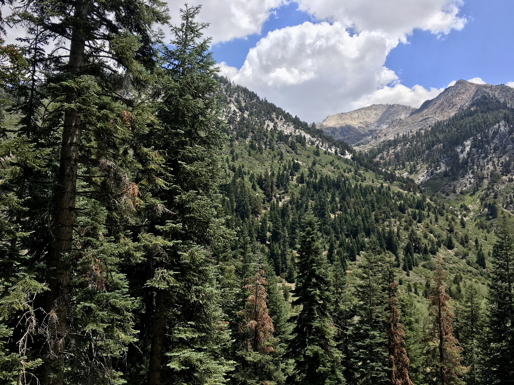
Day road trip (with a partial hike) to Mineral King, CA. Who is 'Mineral King'? Mineral King is not a 'who', but a what and a where - subalpine glacial valley located in the southern part of Sequoia National Park, in California. Accessed by a long and narrow winding road, the valley is mostly popular with backpackers and hikers.

Now, half the 'fun' of this trip is this 'long, winding road'. 25 miles long, it rises from a starting elevation of 1,400 feet above sea level to 7,830 feet above sea level over the course of *almost* 700 curves. This is a steep at times, mountain road that ascends through river-carved alpine valley, with some vertigo-inducing drop offs and only passable by barely more than 1 car in spots. This drive, up 6,400' of elevation gain, takes 1.5 - 2 hours... so as you can imagine, that's almost 4 hours of your time spent in the car driving to and from your destination.

In other words, even leaving at 6:30 in the morning didn't provide us with enough time to explore more than a few miles of hiking trails, of which there are a plethora. But even an initial visit with an hour or so on the trails, the views of the Sierra are majestic, pristine, breath taking and certainly calling for a future trip devoted to at least 2 days of exploration.

Our short 2+ mile hike was along the Eagle Lake trail - we didn't get too far, but far enough, at least for now.

Yeah, I will (and must) do it again.