Solo Hike: Little Lakes Valley to Morgan Pass / Rock Creek, CA / August 2020
Length: 9 miles / Elevation gain: 1,000' / Highest Elevation Point: 11,200'


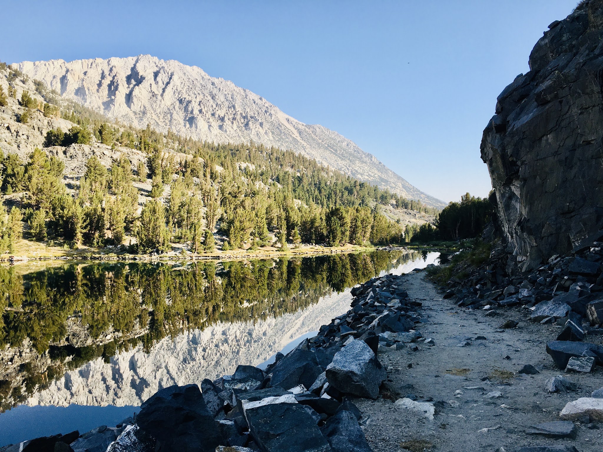


Solo Hike: Little Lakes Valley to Morgan Pass / Rock Creek, CA / August 2020
Length: 9 miles / Elevation gain: 1,000' / Highest Elevation Point: 11,200'
Hike: First Falls to Third Lake Hike (Big Pine Creek) / Big Pine, CA / August 2020
Well, this is something of a leg burner. It's a relatively long hike -
my app actually registered the mileage closer to 13 miles, roundtrip. I
wouldn't say it was crowded, but it certainly had a good amount of
people on the trail - at least heading to First Lake. Evidently, the
further in you go, the less people you'll encounter. There was a steep
drop off in people (people, not literally, haha) between First and
Second lakes. By Third lake, the number of fellow hikers was sparse.
All 3 lakes are pretty amazing. And to me, each had their own identity. First Lake, mostly for the reason of being FIRST, was populated by people taking advantage of the lake and the relative ease to descend to the lake shore. No question this was the popular lake. Second Lake was less populated but perhaps even more majestic - the looming crags of the towering Sierra peaks (in particular, Tower Crag) in the glacial moraine was really impressive and imposing. No question this was the majestic lake. Third lake, a bit more of hiking distance from Second, than Second was from First, also had the same glacial characteristics of Second and First lakes, but was more calm and less visited. I'll denote this the peaceful lake.
All in all, a great hike as everyone has mentioned, at a fairly high elevation (10,000' give or take) and definitely worth a trip - or two. I can see a visit to the harder Fifth, Sixth and Seventh lakes in the near future (which leads me to wonder what the hell happened to poor Fourth Lake? ;) )
Length: 13.8 miles / Elevation gain: 2,800' / Highest Elevation Point: 10,800'


Hike: Robinson Lake / August 2020
The road to Onion Valley at Kearsarge pass leads also to the road less traveled. And that would be a hike to Robinson Lake, a much-less visited trail that winds up to a, guess what, lake! :) Sub-alpine
forests on the otherside of the Kearsarge Pass to a sub-alpine lake. As
is almost always the case in the Eastern Sierras (or almost any part of
the Sierra Nevada Mountains) the views range from the sublime to the
epic.
Sitting
at an elevation of 10,500', Robinson Lake doesn't have the expected and
common blue/turquoise sheen that most lakes high up in the peaks and
valleys of the High Sierra has, but more of a deep emerald shimmer,
which makes it fairly unique and striking. The reflection of 12,000+
peaks of the nearby mountains make this an enchanting place... calm,
tranquil, less frequently traveled except by a group of women in their
20s who found it to be a great spot to sun-bathe nude.
Length: 4 miles / Elevation gain: 1,300' / Highest Elevation Point: 10,500'.


At the upper lake, this is where this trail
terminates - at least if this is your destination. Not a huge lake, but
pristine. Tranquil, supple and from some angles, it looks like natures
own Infinity Pool.
Length: 4.5 miles / Elevation gain: 689' / Highest Elevation Point: 8,910'.


